
Site/Topographic Surveys Plans
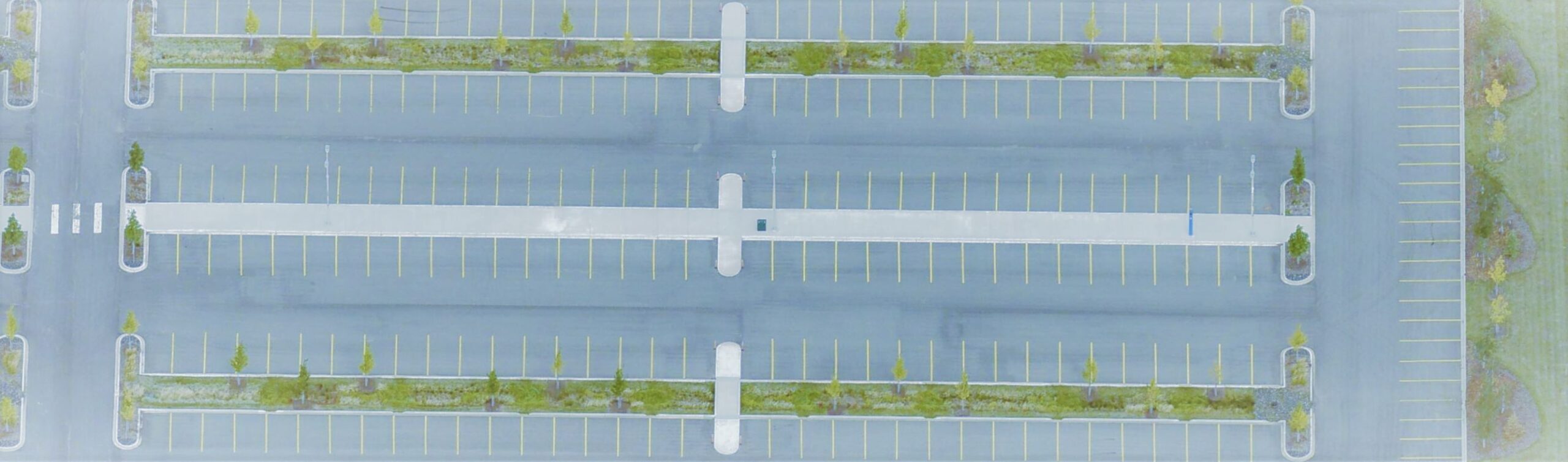
A plan that shows the position of visible and significant improvements in relation to property boundaries is typically referred to as a Site Survey or Topographic Survey. Unlike a Real Property Report, this type of survey also includes Geodetic elevations as well as natural features. The plan can assist designers to visualize the appearance of future architectural features or the overall layout of a completed project with the aid of the plan’s illustrations. The Site Survey or Topographic Survey can also be utilized for monitoring any changes in site settlement and deformation over time.
This service is widely utilized across various industries:
- New or existing School project
- Industrial park As-Built
- Residential home design
- Residential home renovation addition permitting
- Site construction application
- Site construction progress
- Commercial construction completion
- and more